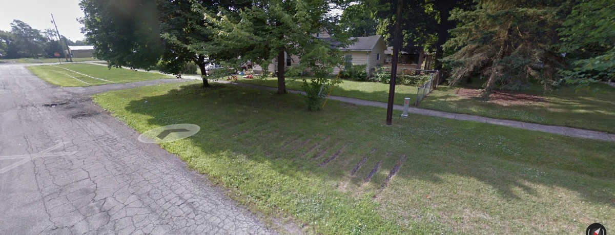
Although the above location has been found already, here are three other pictures I took the other day from various locations around this area if anyone was curious. I'm not sure if anyone on here has ever been back here much but it is fairly easy if you know how to get in from the north side of I-196.

Another picture from just north of Lamar. Behind me is a thicket that makes the ROW up to Lamar basically impassable. I wouldn't go any closer to Lamar anyway; going beyond the big "CSX TRANSPORTATON NO TRESSPASSING" sign is my #1 rule back here.

A view from the heavily overgrown north side of the overpasses. Just behind me the grade levels out in preparation to cross the river. The grade is very high up to keep it above the Grand River floodplain. This area is full of highway trash and other things people have dumped in here over the years.

From the opposite side of the grade from the above picture. In the warmer months, you cannot even see the overpasses with the amount of foliage back here and the bugs will eat you alive, so this is the ideal time to be back here.
I'm assuming Indian Mounds Drive was put in after the rails were abandoned because its very evident that road crews paved over whatever rail was left leading up to the bridge.


 [
[